Vidova gora
Elevation profile
Move across the profile and the point follows on the map.
About the route
Designed for experienced and fit riders, this circular route is a real challenge for anyone who wants to experience Brač in all its contrasts: from the scent of sea and pines on the coast, through lonely climbs among olive groves, to unforgettable views from Vidova gora. Exhausting but incredibly rewarding, this ride stays in the memory for a long time as a true and complete cycling experience of the island.
The route leaves Supetar and follows the coast to Splitska and Postira, continuing to the famous Lovrečina Bay, ideal for a short break before the challenge ahead.
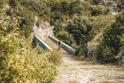
From Lovrečina the long climb to Vidova gora begins – at 778 m the highest peak of all the Adriatic islands. The 17 km climb, with an average gradient of 4.3% (over 10% in places), runs mostly on gravel through olive groves and fields, with no villages or places to refuel, so stock up before you start.
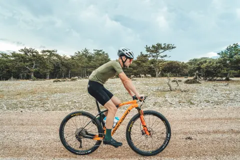
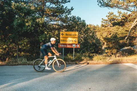
At the top of Vidova gora you are greeted by the shade of a pine forest, sometimes grazing sheep and goats, and a magnificent view of Bol, Zlatni rat beach, the island of Hvar and the open Adriatic beyond. The descent leads via Nerežišća, then on gravel towards Škrip and steeply down to the coast at Postira. The final stretch along the sea brings you back to Supetar – a perfect end to a demanding route.
Along the route
Lovrečina Bay – a beautiful beach, excellent for a break and preparation before the climb.
Vidova gora (778 m) – the highest peak of all the Adriatic islands, with spectacular views of Bol, Zlatni rat, the island of Hvar and beyond.
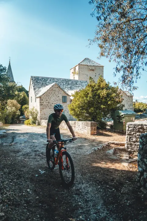
Škrip – the oldest settlement on the island, ideal for a short cultural stop.
The Brač bonsai – the famous pine tree growing out of the roof of the Church of Sts Peter and Paul in Nerežišća.
When to go
Start & access
Start coordinates: 43.3851 N, 16.5552 E
Tips and safety
Be sure to fill your bottles and take food before Lovrečina – the climb to Vidova gora is long and there is nowhere to resupply. Spring and autumn are the ideal seasons for this route. Summer is hot and dry, and the route is quite demanding. If you ride in summer, start early, as only the last part of the climb offers shade.
An obstacle, damage or wrong data — email us, no sign-up needed.