
Big Circle
Elevation profile
Move across the profile and the point follows on the map.
About the route
This road route combines two shorter ones into a full circuit of the entire Neretva Valley, breaking the magic 100-kilometre mark along the way. Although that is a respectable distance, the “big circle” is not a hard route, at least for regular recreational riders with a certain level of cycling fitness. The elevation gain is not excessive, and 100 kilometres should not be a problem for those who ride regularly.
The route starts in Metković and crosses the lowlands towards Zažablje, where you can see the former wetland landscape of the Neretva, before you begin climbing towards Zavala Slivno. Your effort will pay off, as the descent to Klek that follows offers beautiful views of the sea and the Pelješac Peninsula.
After the descent, the route follows the Adriatic Highway from Klek to the mouth of the Neretva. A notable attraction on this section is the long sandy beach at Blace, after which the route heads for Ploče and from there climbs towards the natural phenomenon of Polje Jezero, created by draining what was once Vrgorac Lake.
From Polje Jezero a climb leads towards Mali Prolog, followed by a gentle descent back to the Neretva at Kula Norinska, known for its preserved Ottoman-era defensive tower. After Kula Norinska the route follows the banks of the Neretva back to Metković.
Along the route
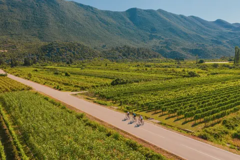
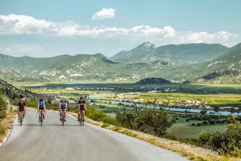
The route is highly varied, passing through every kind of landscape the Neretva Valley has to offer: agricultural “canal” landscapes along the river, the green karst of Polje Jezero and the coastal roads of the Slivno municipality.
The long sandy beach at Blace.
When to go
Start & access
Start coordinates: 43.0537 N, 17.6504 E
Tips and safety
Most of the route follows secondary roads, but take care at the two points where it crosses the D8 state road. Beginners and less experienced cyclists are advised to test their fitness on one of the shorter #1valley road routes before this one.
An obstacle, damage or wrong data — email us, no sign-up needed.
More in Neretva ValleySame activity first
All routes (8) →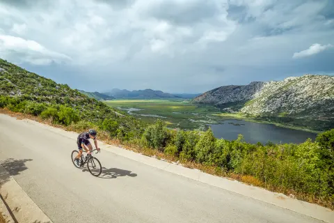 Road
 Road
 Road
 Trekking