
Over the Mountain and into the Sea
Elevation profile
Move across the profile and the point follows on the map.
About the route
The longest and most demanding #1valley cycling route is designed for riders who see their bike as sports equipment and crave challenge, hard effort and an exceptional sense of achievement at the end of the day.
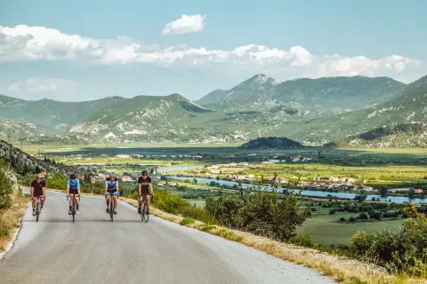
It starts in Ploče with a gentle climb towards Polje Jezero, a natural phenomenon created by draining a former real lake. After a short descent towards Staševica comes the next climb, towards the town of Vrgorac on the northern edge of the field.
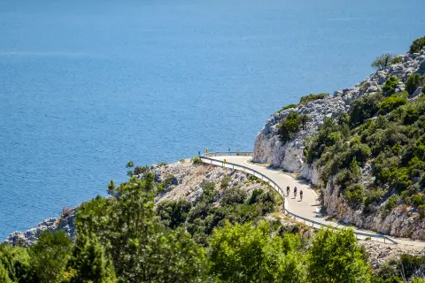
From Vrgorac the route continues towards Kozica, after which a new long climb follows along the edges of Biokovo Nature Park. The mythical Biokovo is no piece of cake, but all the sweat and effort are rewarded with one of the most beautiful cycling descents on the Adriatic coast, from Gornje Igrane down to Podgora on the coast.
The views of the blue Adriatic, the central Dalmatian islands of Brač and Hvar, the peaks of Pelješac and the thin green coastline of the Makarska Riviera squeezed beneath the mighty cliffs of Biokovo are truly breathtaking. The final section begins in Podgora and follows the Adriatic Highway back to Ploče.
Along the route
One of the most beautiful cycling descents on the Adriatic coast, from Gornje Igrane to Podgora.
Ambitious, fitter riders can extend the route by climbing to the highest peak of Biokovo, Sveti Jure (1762 m), on the highest paved road in Croatia. A few kilometres into the descent from Gornje Igrane towards Podgora you pass the entrance to Biokovo Nature Park, where the Biokovo road begins.
When to go
Start & access
Start coordinates: 43.0689 N, 17.4238 E
Tips and safety
An obstacle, damage or wrong data — email us, no sign-up needed.
More in Neretva ValleySame activity first
All routes (8) →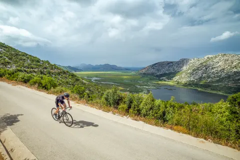 Road
 Road
 Road
 Trekking