Kalnik Loop
Elevation profile
Move across the profile and the point follows on the map.
About the route
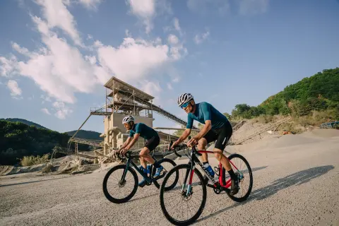
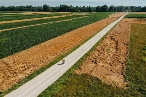
This circular road route around Kalnik will satisfy even the most demanding road cyclists looking for a real challenge. Designed for fitter recreational road riders, it follows good roads with little traffic, so you can concentrate on riding and speed without too many distractions.
From Ludbreg the route heads towards Kalnik, where a serious, steep but not too long climb to the mountain hut awaits. There your effort will be rewarded with a beautiful, inspiring view over the endless green of the southern slopes of the Kalnik range, which will help you recover and recharge faster.
After the mountain hut the route continues over rolling, fun terrain with alternating descents and short kickers, but be ready for another climb near the village of Sudovec. Once that challenge is conquered the route gets somewhat easier, runs through the northern parts of the Kalnik range and, after more than 100 kilometres of wonderful nature and unforgettable views over a lively, hilly landscape, brings you back to Ludbreg.
Along the route
The view from the Kalnik mountain hut over the endless green of the southern slopes of the Kalnik range.
The route is full of segments where you can try to beat the standing records.
When to go
Along the route 20 points
Start & access
Start coordinates: 46.2504 N, 16.6199 E
Tips and safety
Even though traffic on these roads is light, you can never be too careful: follow the rules of the road, especially on narrow sections. There are drinking-water springs at the Kalnik mountain hut and in Visoko; you can also find drinking water in Slanje and Leskovec, and there is a water tap in the centre of Ludbreg. There are shops and cafés or restaurants in Apatovec and Ljubešćica. There is a bike repair station on the main square in Ludbreg.
An obstacle, damage or wrong data — email us, no sign-up needed.