Gravel Kalnik
Elevation profile
Move across the profile and the point follows on the map.
About the route
To ride this gravel route you need good technical skills and fitness, and experience of riding on rough terrain.
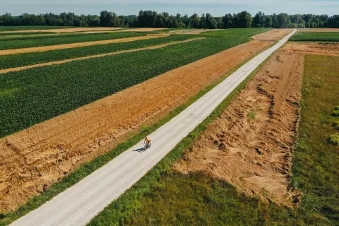
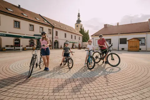
The route starts in the centre of Ludbreg and runs via the villages of Bolfan and Rasinja before turning onto forest gravel tracks towards Kalnik. The climbs and descents are somewhat demanding but not too hard; the steepest is the climb up Kalnik itself, with gradients briefly reaching 21%. At the top of Kalnik there is a lovely mountain hut, ideal for refuelling after the effort.
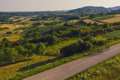
The climb up Kalnik is followed by a thrilling gravel descent through the forest towards the quarry near the village of Ljubešćica, and a return to Ludbreg through the beautiful rolling landscape on the northern side of Kalnik.
Along the route
The scenes at the quarry, often with a light haze of dust and heavy machinery, contrast with the green beauty of the forest and make for excellent photos.
The mountain hut at the top of Kalnik, ideal for refuelling after the climb.
The fishpond at Rasinja.
When to go
Start & access
Start coordinates: 46.2471 N, 16.6178 E
Tips and safety
After heavy rain take care on the gravel descents, which can become treacherously slippery and deeply rutted. Halfway to Kalnik, in the village of Apatovec, about an hour's ride from the top, you will find the last shop and café, so stock up on drinks and a snack there. There is a water source at the Kalnik mountain hut, and a shop and café in Slanje.
An obstacle, damage or wrong data — email us, no sign-up needed.