Gravel Ludbreg
Elevation profile
Move across the profile and the point follows on the map.
About the route
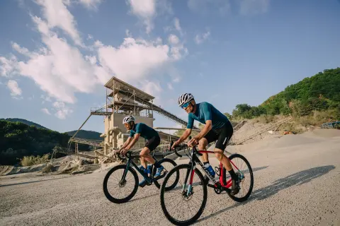
This route is meant for gravel riders ready for rough surfaces and longer distances. You need to be in good physical shape, mainly because of its length, but it does not call for any dramatic technical skills.
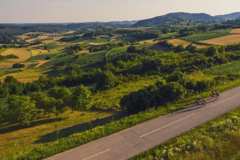
This flat route explores the area north of Ludbreg, including the southern shore of the Lake Dubrava reservoir and the old courses of the Drava and Bednja rivers. The surface is mostly gravel, but you will also come across asphalt and dirt.
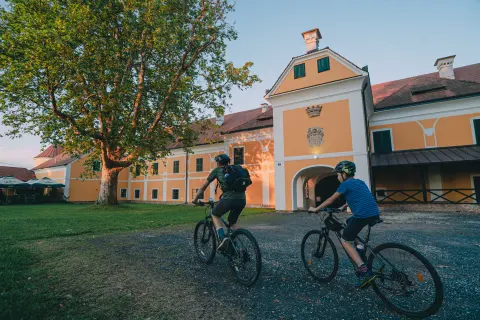
Along the way you will see many of the cultural and natural attractions of Ludbreg and its surroundings – the centre of the world, the shrine, the Ludbreg fishponds, Drašković Castle in Veliki Bukovec, the picturesque tree-lined avenues between Kapela Podravska and Veliki Bukovec, and the wooden footbridge and kayak course in the woods by the Drava.
Along the route
For those who like a challenge: on the dam itself there is a segment in both directions on a popular “social network” where you can try to set the best time.
The areas along the Bednja and the Drava are teeming with life: you will often see swans, herons and many other birds, and don't be surprised to spot roe deer in the fields. There are no (longer any) lions, tigers or rhinos.
The picturesque tree-lined avenues between Kapela Podravska and Veliki Bukovec.
When to go
Start & access
Start coordinates: 46.2475 N, 16.6177 E
Tips and safety
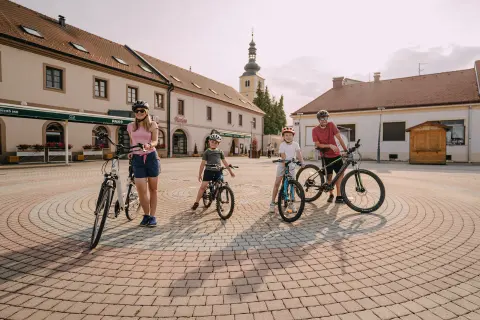
There are bike repair stations on the main square in Ludbreg and in Veliki Bukovec. There is a café-restaurant at Drašković Castle, and a shop and bakery in Šemovec.
An obstacle, damage or wrong data — email us, no sign-up needed.