541 Od izvora do ušća
Elevation profile
Move across the profile and the point follows on the map.
About the route
This route is a tribute to the beauty of the Cetina, following it, as the name says, from its source near Vrlika to where it flows into the Adriatic in Omiš.
The first part follows the river through fairly gentle country, past Lake Peruća to Rumin, then runs along the edge of Sinjsko polje to the historic little town of Trilj. On this stretch you can detour to several beautiful springs of the Cetina's tributaries, such as the Ruda or the Grab, only a few kilometres from the main route.
After Trilj the river drops into its canyon and the route becomes harder, with several short climbs, all the way to the finish at the mouth of the Cetina in Omiš.
Along the route
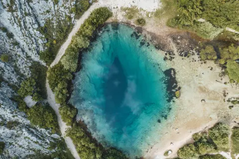
Source of the Cetina
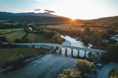
Pločasti Bridge
Lake Peruća
Rumin Bridge
The Ruda and Grab springs
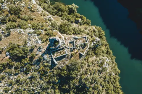
Nutjak fortress
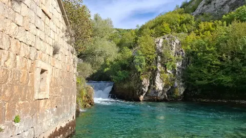
Radman's watermills (Radmanove mlinice)
When to go
Start & access
Start coordinates: 43.9766 N, 16.4292 E
Tips and safety
The route is long and challenging, above all because of its length, but also because of the technically demanding section from Trilj to Omiš. It is ideal for a multi-day cycling adventure, as it passes through some of the most beautiful parts of the destination with many natural and cultural sights, so we suggest splitting it into two, three or even four stages so that you can take in everything there is to see.
An obstacle, damage or wrong data — email us, no sign-up needed.