511 Izvori i rijeke
Elevation profile
Move across the profile and the point follows on the map.
About the route
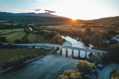
This route runs along the edges of Sinjsko polje, a green slice of paradise through which the beautiful Cetina and its many tributaries flow, surrounded by the Dinara, Kamešnica and Svilaja mountains.
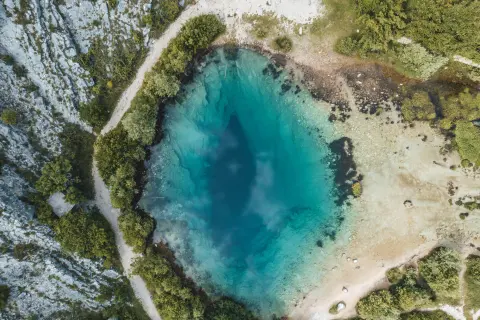
The route starts in Trilj and follows the flat part of the plain and the embankment along the river towards Sinj. After Sinj it continues to two larger springs: the source of the Grab and the source of the Ruda.
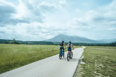
The route is almost completely flat and runs mostly on gravel tracks across the plain or on quiet side roads.
Along the route
The Cetina
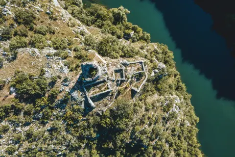
Sinj and its sights
The spring of the Ruda
The spring of the Grab
If you have more time, use this route for an easy ride, exploring and picnics in nature; we suggest the rest areas by the Ruda and Grab springs and a break in Trilj and Sinj.
Near the start in Trilj, have a coffee at one of the cafés along the Cetina.
When to go
Start & access
Start coordinates: 43.6173 N, 16.7304 E
Tips and safety
An obstacle, damage or wrong data — email us, no sign-up needed.