Trekking
452 Aequum
Loading map…
Elevation profile
35.0 km · total climb 386 m · highest point 464 m
Move across the profile and the point follows on the map.
About the route
The route starts in Sinj, from the spot that turns into the racecourse of the Sinjska alka tournament every summer.
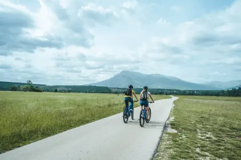
The first part of the route runs downhill through the town of Sinj towards Lučane. A descent and a flat section follow, bringing you to Rumin and the Cetina. The route then follows the Cetina to Obrovac Sinjski and returns across Sinjsko polje to the start.
Along the route
—
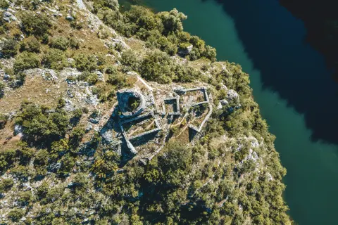
Sinj and its sights
—
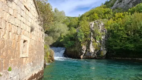
Rumin Bridge over the Cetina
—
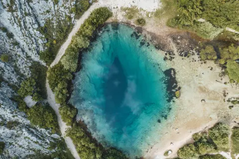
Along the route there are several springs and lovely photo spots that we recommend exploring.
When to go
Best March to May and October to November
Jan
Feb
Mar
Apr
May
Jun
Jul
Aug
Sep
Oct
Nov
Dec
BestGoodPossible, with preparation
Start & access
Start coordinates: 43.7007 N, 16.6352 E
Tips and safety
Spotted a problem on the route?
An obstacle, damage or wrong data — email us, no sign-up needed.