540 Oko Dalmacije
Elevation profile
Move across the profile and the point follows on the map.
About the route
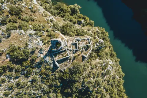
“Oko Dalmacije” (the Eye of Dalmatia) is the popular name for what is probably the most spectacular source of the Cetina, which from above looks like the great eye of some mythical creature.
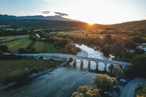
The route starts in Vrlika at Vrlička česma and heads towards Vinalić, where the first climb awaits, followed by a gravel descent towards the Cetina. It then follows the river, crossing Balečki Bridge and passing Pločasti Bridge, to the famous Eye of Dalmatia, after which it returns to Vrlika through rolling country.
Along the route
Vrlička česma
Balečki Bridge
Pločasti Bridge
Church of the Holy Saviour (sv. Spas)
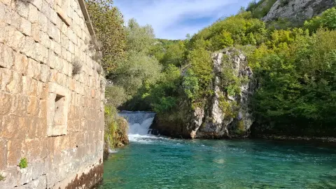
Source of the Cetina
Church of Our Lady of the Rosary
Lake Peruća lies close to the route, good for swimming, rowing and fishing; it is a paradise for water sports, as the construction of the Garjak rowing camp shows.
When to go
Start & access
Start coordinates: 43.9085 N, 16.3963 E
Tips and safety
An obstacle, damage or wrong data — email us, no sign-up needed.