504 Nutjak
Elevation profile
Move across the profile and the point follows on the map.
About the route
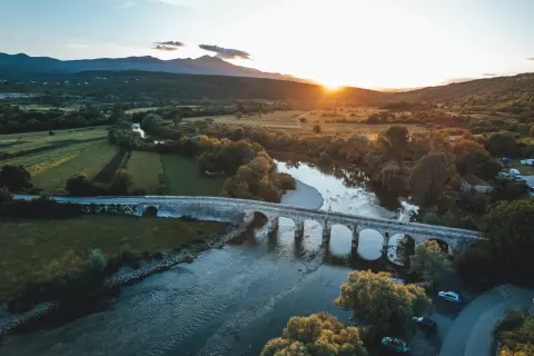
This technically and physically demanding trekking route sets off from the banks of the Cetina in Trilj and immediately climbs towards Nutjak fortress. This monumental historic lookout lies only about a hundred metres from the route and is easy to find, rewarding you with a wonderful view of the Cetina where it cuts into its canyon.
The route continues through rolling country towards Vojnić and then descends back towards Trilj. Soon after crossing the Cetina a new climb begins towards Čaporice, followed by another descent to Trilj.
The route runs mostly through the rural countryside around Trilj and offers plenty of magnificent views of the Cetina. It is also suitable for MTB beginners.
Along the route
Nutjak fortress
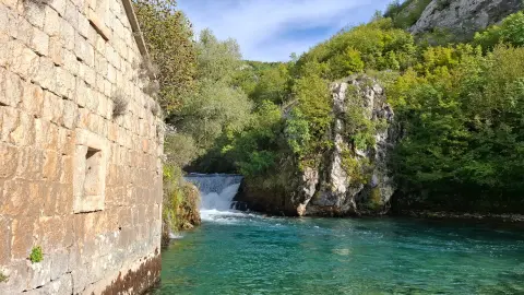
Views of the Cetina canyon
When to go
Start & access
Start coordinates: 43.6145 N, 16.7254 E
Tips and safety
The route has some bigger climbs, so less fit riders should expect to push their bikes now and then on the steepest sections.
An obstacle, damage or wrong data — email us, no sign-up needed.