Koprivnica – Long flat
Elevation profile
Move across the profile and the point follows on the map.
About the route
The whole of Koprivnica-Križevci County is perfect for exciting gravel rides, and the immediate surroundings of Koprivnica are no exception.
The Long flat route really lives up to its name. It crosses almost the whole lowland area east of Koprivnica and is not technically demanding, but a distance of more than 140 kilometres still calls for good fitness and readiness for the effort ahead.
As well as being the longest and toughest, this route takes in all the most interesting natural and cultural attractions around Koprivnica: Đurđevac, the “peski” sands, Hlebine and Šoderica, which makes it an excellent choice for a full-day ride through Hidden Podravina.
Most of the route follows good-quality gravel tracks; it only uses tarmac roads, and quiet ones at that, where there is no gravel track or where the track is unsuitable for gravel riding.
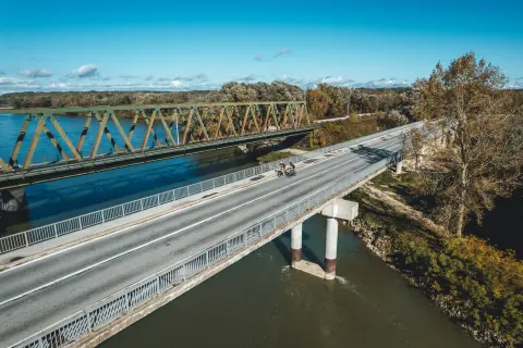
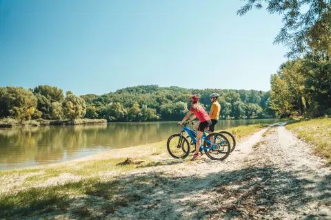
The course of the Drava, from the last reservoir all the way to its confluence with the Danube, is one of the last surviving “wild” river landscapes in Europe. In this stretch the riverbanks and the habitats along them are so well preserved that the river is rightly called the “European Amazon”.
Along the route
Lake Šoderica
Riding along the wild banks of the Drava
Lake Čingi-Lingi
The Drava and Đurđevac sands (peski)
Đurđevac Old Town and the Croatian Sahara
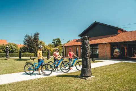
Gallery of Naïve Art and the Gallery's Sculpture Park in Hlebine
When to go
Start & access
Start coordinates: 46.1629 N, 16.8321 E
Tips and safety
Always wear a helmet. Bring enough food and water. Take particular care on sections of the routes that use tarmac roads, especially where there is no cycle lane. Don't forget extra clothing in case of bad weather or a drop in temperature. Avoid riding at night; if you do ride in the dark, always switch on your lights and wear a reflective vest or clothing. Assess your own fitness carefully and don't take on an effort you are not sure you can manage. Check that your bike is in good working order before every ride. Use hand signals when turning. Ride in single file on roads. Obey the traffic rules.
An obstacle, damage or wrong data — email us, no sign-up needed.