404 Stella Croatica
Elevation profile
Move across the profile and the point follows on the map.
About the route
This moderately demanding road touring route runs mostly through the rural Split Hinterland at the foot of Mount Kozjak.
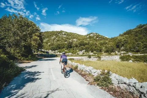
The route starts in Dugopolje and first follows a somewhat busier road to Prugovo, where traffic eases after the turn towards Brštanovo. The next section follows attractive narrow local roads between dry-stone walls, linking several hamlets.
The last part of the route runs through Dugobabe and Konjsko towards Klis and the Stella Croatica complex, then returns to Dugopolje.
Along the route
Stella Croatica complex
“Hidden Dalmatia” Visitor Centre (Skrivena Dalmacija)
When to go
Start & access
Start coordinates: 43.5889 N, 16.5729 E
Tips and safety
Between Dugopolje and Prugovo the route follows a somewhat busier road. Between the 20th and 28th kilometre the route follows narrow two-way roads, so watch out for oncoming vehicles.
An obstacle, damage or wrong data — email us, no sign-up needed.