401 Vranjača
Elevation profile
Move across the profile and the point follows on the map.
About the route
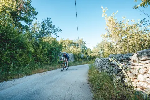
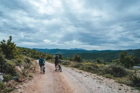
The Dugopolje area, at the foot of Mount Mosor, offers calm, quiet terrain free of heavy traffic, where cycle tourists can fully enjoy the ride.
The route starts in Dugopolje, right next to the new multimedia interpretation and education centre, and in its first part climbs towards Vranjača Cave in the hinterland of Mosor. It then continues along narrow, rolling back roads to the village of Rošca. The last part of the route follows a somewhat busier road through the village of Bisko and leads back to Dugopolje.
Although it is classed as an easier road route, its shorter length and fewer climbs make it suitable for trekking cyclists too.
Along the route
Vranjača Cave
“Hidden Dalmatia” Visitor Centre (Skrivena Dalmacija)
When to go
Start & access
Start coordinates: 43.5889 N, 16.5729 E
Tips and safety
The last part of the route, through the village of Bisko, follows a somewhat busier road.
An obstacle, damage or wrong data — email us, no sign-up needed.