110 Rajčica
Elevation profile
Move across the profile and the point follows on the map.
About the route
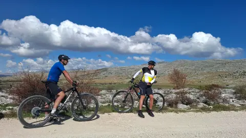
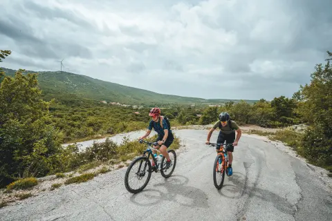
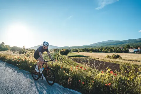
This physically harder but technically easier route is aimed at fit cycle tourists who love exploring unspoilt nature by bike.
The route starts at Klis Fortress and after a few hundred metres turns into an attractive, but not physically demanding, singletrack climb on dirt. It continues on a mix of gravel and quiet asphalt roads all the way to the Roman wells of Rajčica.
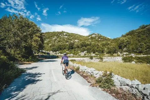
The wells are the furthest point of the route. On the way back the route follows the same track for the first few kilometres, then branches off and returns to Klis over rolling terrain, on a mix of gravel and asphalt.
Along the route
Klis Fortress
Rajčica wells
Attractive gravel tracks
When to go
Start & access
Start coordinates: 43.5596 N, 16.5223 E
Tips and safety
The route runs through rural areas with few shops, bars or restaurants, so we suggest topping up your drinks and food whenever you come across one.
An obstacle, damage or wrong data — email us, no sign-up needed.