MTB
461 Dinara vamo-tamo
Recommended bikesMTBE-MTB
Loading map…
Elevation profile
28.7 km · total climb 699 m · highest point 949 m
Move across the profile and the point follows on the map.
About the route
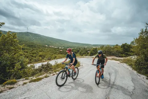
Climbing is part and parcel of mountain biking, and this route has plenty of it: from the banks of the Cetina to the Dinara plateau you will be climbing continuously.
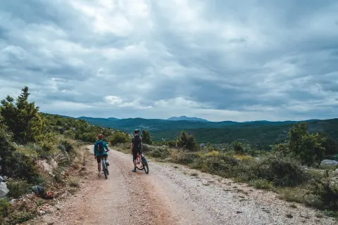
The route starts and finishes in Rumin. At first it follows quiet asphalt side roads, which lead onto a gravel track surrounded by enchanting scenery. The descent from the Dinara plateau comes with wonderful views of Lake Peruća, the Cetina and Sinjsko polje.
Along the route
—
The Cetina
—
Dinara and views of the Cetina, Lake Peruća, Svilaja and Sinjsko polje
When to go
Best March to May and September to October
Jan
Feb
Mar
Apr
May
Jun
Jul
Aug
Sep
Oct
Nov
Dec
BestGoodPossible, with preparation
Start & access
Start coordinates: 43.7758 N, 16.6323 E
Tips and safety
There is nowhere to buy supplies on the route, so bring enough to drink and eat.
Spotted a problem on the route?
An obstacle, damage or wrong data — email us, no sign-up needed.