503 Žlabina
Elevation profile
Move across the profile and the point follows on the map.
About the route
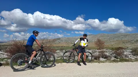
This route offers a classic out-and-back climb. After 18 kilometres of climbing you descend the same way, gathering more than 1,200 metres of ascent – a challenge that, we believe, will satisfy even the fittest riders. At the same time, the moderate average gradient means that less confident climbers can take it on too, making it a great choice for a wide range of mountain bikers.
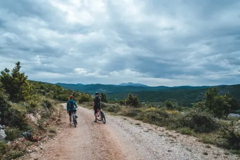
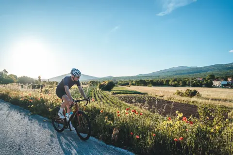
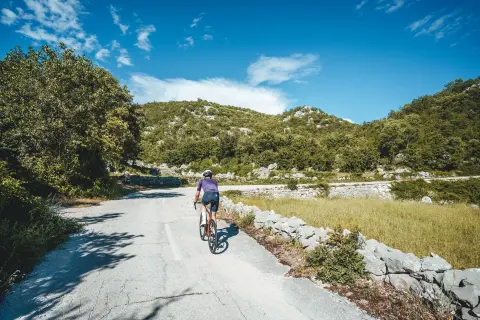
The route starts at the spring of the Ruda and follows an asphalt road as far as Voštane, after which a gravel track leads towards Kamešnica. When you reach the “Državna granica” (state border) sign, you have conquered the highest point of the route and it is time to head back the way you came.
Along the route
The spring of the Ruda
Attractive landscapes
When to go
Along the route 1 points
Start & access
Start coordinates: 43.6691 N, 16.7916 E
Tips and safety
There is nowhere to buy supplies on the route, so bring enough to drink and eat. Halfway along the route you will reach a “Državna granica” (state border) sign, which you must under no circumstances cross without prior permission.
An obstacle, damage or wrong data — email us, no sign-up needed.