
Discover the Delta
Elevation profile
Move across the profile and the point follows on the map.
About the route
The mouth of the Neretva on the Adriatic is one of the most magical places on the entire Croatian coast, thanks to the truly unique contrast between the blue of the sea, the earthy tones of the sandbanks at the mouth and the green of the fertile delta fields you will discover along the way.
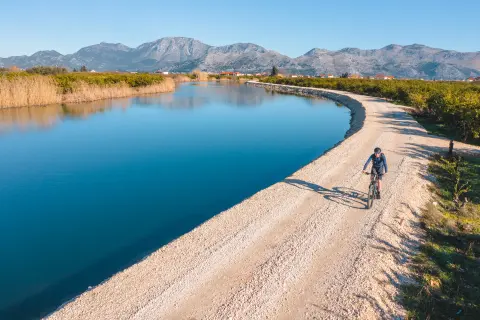
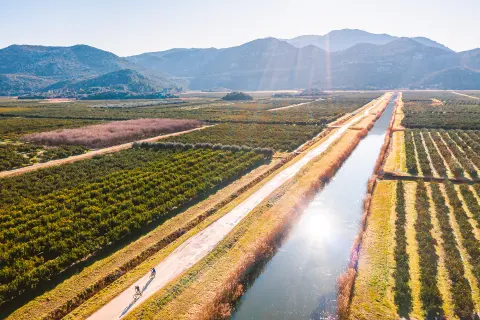
Its 22 kilometres run across the plain without any climbs, making it technically and physically suitable for cyclists of all abilities and ages. It follows well-maintained gravel roads and local paved roads with little traffic.
Riding through the delta, you will pass citrus plantations and fields of other Mediterranean fruit and vegetables, and you will sense the nearness of the sea not only in the changing views but also in the scent of salt in the air.
Along the route
The mouth of the Neretva and the nearby beach at Blace are a sandy paradise, perfect for swimming.
When the wind is right, the sandbanks draw dozens of kitesurfers from all over the region, and in high season from every corner of Europe.
When to go
Start & access
Start coordinates: 43.0190 N, 17.4455 E
Tips and safety
An obstacle, damage or wrong data — email us, no sign-up needed.
More in Neretva ValleySame activity first
All routes (8) → Trekking
 Trekking
 Trekking
 Road