Topići
Elevation profile
Move across the profile and the point follows on the map.
About the route
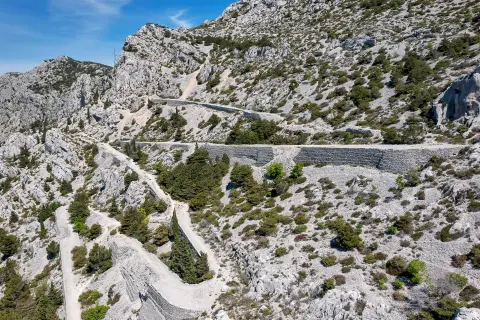
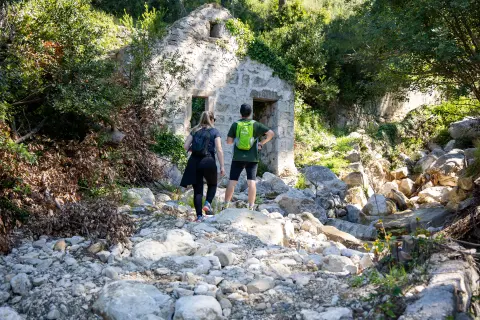
This route starts in the picturesque tourist town of Brela and heads down gravel roads to the settlement of Topići, giving the opportunity to enjoy the peaceful surroundings and beautiful views along the entire trail.
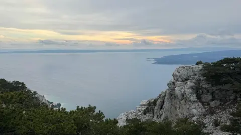
The initial part of the route passes through slightly undulating terrain accompanied by spectacular views of the Adriatic Sea and the islands. About 2 kilometres from the start, you will reach the highest point of the route, located at an altitude of about 300 metres, where there is a well-maintained viewpoint with benches. Here you can stop, rest and enjoy panoramic views of the endless blue of the sea.
After the viewpoint, the route offers a pleasant and gentle descent towards Topići and Baška Voda. Before entering Baška Voda itself, the route crosses the busy D8 state road, so we advise extra caution when crossing it.
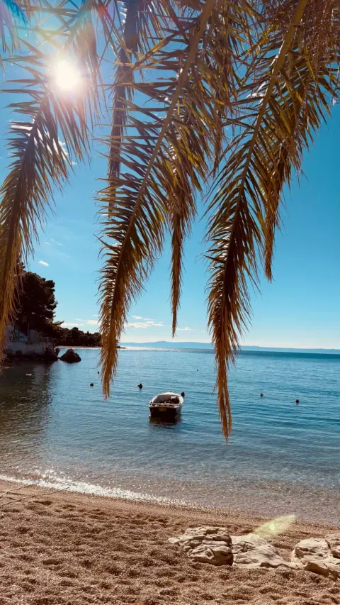
From Baška Voda to Brela, the route follows the seafront promenade for a leisurely walk along the coast. And the end of the promenade is the climb to Punta Rata, back to the parking lot at the Brela kindergarten where the route began. This segment again crosses the D8 state road, so be careful when crossing.
This less demanding route is ideal for all who love nature and walking, offering the opportunity to relax, enjoy the beauty of nature and explore the beautiful landscapes of the Adriatic coast. Enjoy every step and discover the beauty that this route offers!
Along the route
Views of the Adriatic Sea and the surrounding islands: Enjoy stunning views of the endless blue of the Adriatic Sea and the surrounding islands stretching into the distance for almost the entire part of the trail. These are the moments when you can stop, breathe in the fresh sea air and surrender to the beauty of nature. Culture and gastronomy experience: Walking this route gives you the opportunity to explore the local culture, architecture and gastronomy of picturesque settlements such as Brela and Baška Voda. Stop at local restaurants, explore traditional dishes and feel the spirit of Dalmatian life. Ascent from Punta Rata to the parking lot at the Brela kindergarten: At the end of the route, you will climb from Punta Rata to the parking lot at the Brela kindergarten. Although this is a more demanding section of the route, you will be rewarded with beautiful views and a sense of accomplishment once you reach the finish line.
When to go
Start & access
Start coordinates: 43.3760 N, 16.9256 E
Tips and safety
Before entering Baška Voda, the route crosses the busy D8 state road, and extra caution is required. From Baška Voda to Brela, the route runs along the seaside promenade. At the end of the route, there is an ascent from Punta Rata to the parking lot at the Brela kindergarten, where the route began. On this segment, the route again crosses the D8 state road and extra caution is requires as this is a high-traffic road.
An obstacle, damage or wrong data — email us, no sign-up needed.