French road
Elevation profile
Move across the profile and the point follows on the map.
About the route
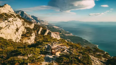
This interesting and unique, 4.9 kilometre route long hiking route leads through the outskirts of Biokovo Nature Park and offers an opportunity to explore the untouched beauty of this mountain massif, while enjoying spectacular views of the Adriatic Sea and the surrounding islands.
The name comes from the old "French road" that the route runs along in some parts. This road was built by French soldiers when they arrived here during the Napoleonic Wars, when the whole of Dalmatia fell under the Illyrian provinces of the French Empire.
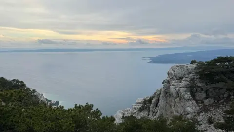
Napoleon's route begins with a climb of approximately 1.5 kilometres with a 300 metre elevation difference. At the top of the ascent is the highest point of the route, at an altitude of approximately 430 metres, with stunning views of the sea, and the peaks and valleys of Mt. Biokovo, with the added bonus of the crisp, clean mountain air.
The ascent is followed by a milder descent, and the rest of this circular route is mainly designed for a more relaxed enjoyment of nature and the many contrasting landscapes in this part of Dalmatia.
Along the route
Highest point of the route: After a fairly steep initial climb you reach the highest point of the route at about 430 metres above sea level. Rest here, breathe the fresh air and reward yourself with a stunning panoramic view of the surrounding peaks and valleys of Biokovo and the Adriatic Sea.
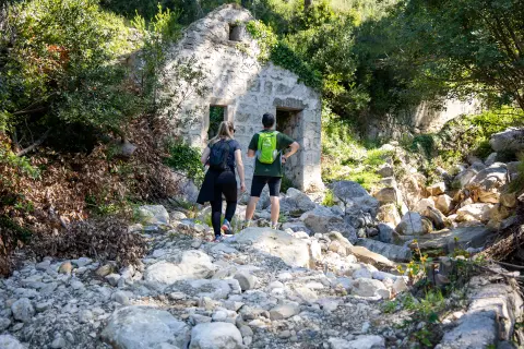
Along the French Road: Part of the route follows the French Road, built by Napoleon’s soldiers when Dalmatia was part of the so-called Illyrian Provinces of the French Empire.
Unspoilt nature of Biokovo Nature Park: Walking along Napoleon’s route, you can explore the untouched beauty of Biokovo Nature Park – lush vegetation, clean mountain air and a silence broken only by the sounds of nature.
When to go
Start & access
Start coordinates: 43.3760 N, 16.9256 E
Tips and safety
An obstacle, damage or wrong data — email us, no sign-up needed.