Pakline
Elevation profile
Move across the profile and the point follows on the map.
About the route
Pakline, a more physically demanding hiking route, will take you through the spectacular landscapes of Mount Biokovo. This 8.9 kilometre route offers a challenging experience to explore the mountain massif, with wonderful panoramic views.
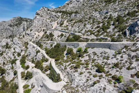
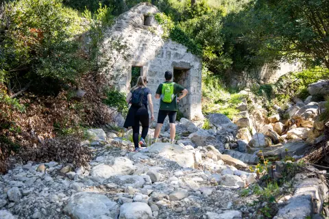
The route begins with an ascent to the pass near Nevistina stina (Bride's Cliff), the first more challenging part of the trail. The ascent is followed by a shorter descent, which turns into another long climb through a dense coniferous forest all the way to the Paklina mountain hut. Here the route climbs through the forest and crosses rocks and sharp cliffs, so extra caution is required.
The Paklina hut offers wonderful views of the surrounding mountain peaks and valleys, making it an ideal place to rest and get refreshed before continuing the hike. The shelter marks the highest point of the route, followed by a gentle descent on rocky terrain back to the Bride’s Cliff (Nevistina stina) site.
On the way back, the route takes you past an opening in the rock known as the Biokovo Eye (Biokovsko oko), a natural attraction that makes the route even more interesting.
The Paklina route offers not only a physically challenging hiking experience, but also an opportunity to enjoy the beauty of untouched nature, panoramic views and unique natural sights. Enjoy every step and discover the charms of Mt. Biokovo on this spectacular hiking route!
Along the route
Biokovo Eye: On the way back to the start, the route takes you past an opening in the rock known as the Biokovo Eye (Biokovsko oko), a natural attraction that makes the route even more interesting.
Pass at the Bride’s Cliff: The route begins with a steeper climb to the pass at Nevistina stina. As a reward for your effort, enjoy the impressive mountain scenery all around you.
Pakline mountain shelter: Reaching the Pakline shelter gives you a chance to rest and refresh before continuing the adventure.
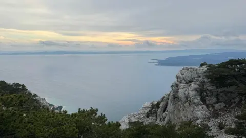
Panoramic views: Along almost the entire route there are wonderful panoramic views of mountain peaks, valleys and the Adriatic Sea.
When to go
Start & access
Start coordinates: 43.3760 N, 16.9256 E
Tips and safety
Just before the hut, the route passes over rocks and sharp cliffs, so extra caution is required.
An obstacle, damage or wrong data — email us, no sign-up needed.