Mlinice Hike
Elevation profile
Move across the profile and the point follows on the map.
About the route
Mlinice Hike offers a pleasant and picturesque adventure through nature and historical sites, with a length of 4.6 km and total climb of 189 meters. This route is ideal for all levels of hikers and provides an exciting adventure that will not disappoint.
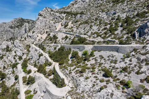
Starting from the waterfront in Podgora, the route leads to the locality of Mlinica, a beautiful area with a rich history. After the first few hundred meters of paved road, the route turns towards the climb called Mlinice. This ascent offers a unique opportunity to explore the paths formed by water, pouring down the slopes of Mt. Biokovo during heavy rainfall or when the snow melts on the mountain tops.
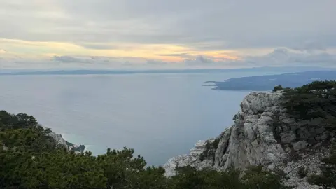
The hiking trail leads to a gravel road towards Gornja Podgora, offering a wonderful view of the surrounding landscapes and the opportunity to enjoy fresh air and natural beauty.
After Gornja Podgora, the route gently descends towards Podgora itself, allowing hikers to relax on the way down while observing the beauty of the surrounding landscape.
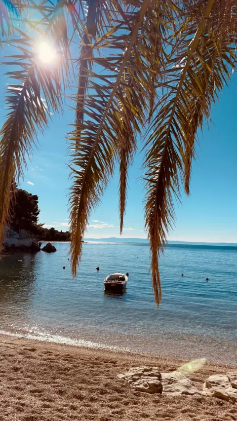
The final part of the trail includes a leisurely walk along the sea where you can enjoy the smell of sea salt and the sounds of the waves. This relaxing walk along the coast is the perfect way to end your Mlinica Hike hiking adventure.
The total tour time of this route is 1 hour and 30 minutes, which is ideal for a pleasant walk through nature.
Along the route
Mlinica: The starting point of the route, rich in history and natural beauty, giving visitors an insight into traditional architecture and watercourses shaped by natural processes.
Mlinice climb: A challenging climb with spectacular views and a chance to explore paths shaped by the water that runs down Biokovo during rainy periods or snowmelt.
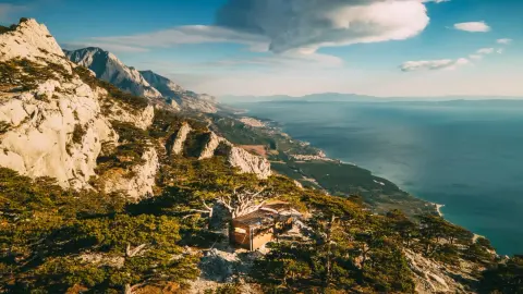
Views of the surrounding landscape: The gravel road to Gornja Podgora gives hikers a wonderful view of the mountain peaks and the sea, making for unforgettable moments along the way.
When to go
Along the route 1 points
Start & access
Start coordinates: 43.2426 N, 17.0748 E
Tips and safety
An obstacle, damage or wrong data — email us, no sign-up needed.