St. Nicholas
Elevation profile
Move across the profile and the point follows on the map.
About the route
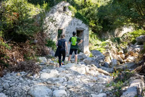
This physically demanding hiking route passes through the challenging but stunning area of Mt. Biokovo. Named after the Church of St. Nicholas (Sv. Nikola), located on one of the Biokovo peaks, the route invites hikers to explore the spectacular landscapes and panoramic views of the surrounding canyons.
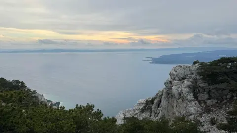
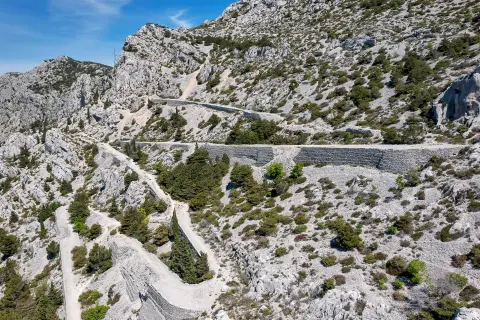
The beginning of the route is marked by the ascent to the pass near the Bride's Cliff (Nevistina stina), followed by a shorter descent, and then a longer climb towards the Church of St. Nicholas with stunning views of the surrounding Biokovo canyons and mountain peaks. Here you can stop, rest and enjoy the beautiful scenery.
The route returns to the starting point in Brela via the same route. This is an opportunity to re-experience all the challenges and pleasures of this trail offers on the way back.
The route is physically demanding, but gives hikers the chance to connect with nature and gain a deep sense of accomplishment as they conquer the peaks of Biokovo.
Along the route
Pass at the Bride’s Cliff: The route opens with a climb to the pass at Nevistina stina. Here you meet the first challenges of the trail and enjoy the first panoramic views of the surrounding mountains.
Church of St Nicholas: The literal high point of the route is the Church of St Nicholas on the mountain top, an ideal place to rest, refresh and enjoy the silence of nature.
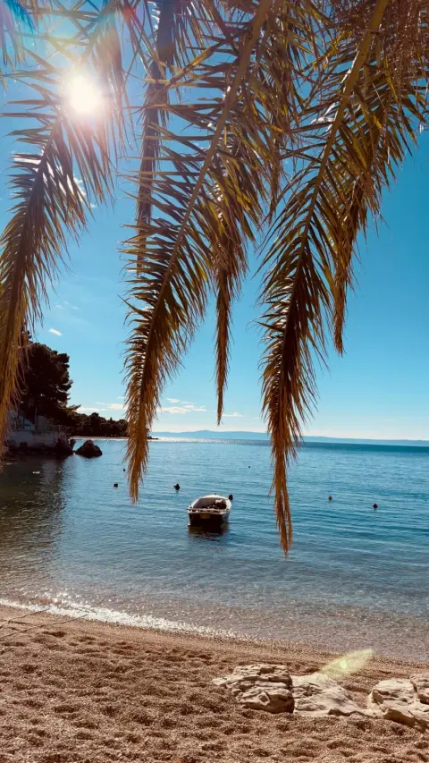
Panoramic views: Along almost the entire route there are wonderful panoramic views of the surrounding canyons, mountain peaks and the Adriatic Sea.
When to go
Start & access
Start coordinates: 43.3760 N, 16.9256 E
Tips and safety
An obstacle, damage or wrong data — email us, no sign-up needed.