
ROAD Poličnik 1
Elevation profile
Move across the profile and the point follows on the map.
About the route
This rolling, easier route passes through all three municipal centres of Novigrad Sea, which makes it a true destination route. It starts in Poličnik and runs through rolling country past Visočane and Radovin towards Posedarje, where it reaches the shore of Novigrad Sea.
From Posedarje the route follows the coast to Novigrad, where a gentle climb begins towards Paljuv. It continues through rural country towards Smilčić, on to Zemunik, and turns towards Potkos and Suhovare before returning to the start in Poličnik.
Along the route
Ideal for recreational road cyclists who want to keep in shape.
The coastal stretch from Posedarje to Novigrad; both towns are perfect for a short coffee break.
When to go
Start & access
Start coordinates: 44.1770 N, 15.3773 E
Tips and safety
Take extra care between Smilčić and Zemunik, where the route follows a state road.
An obstacle, damage or wrong data — email us, no sign-up needed.
More in Novigrad SeaSame activity first
All routes (7) →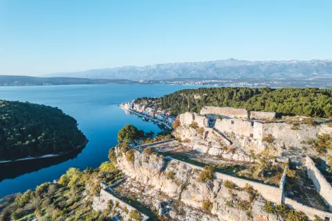 Road
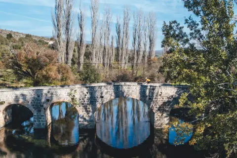 Road
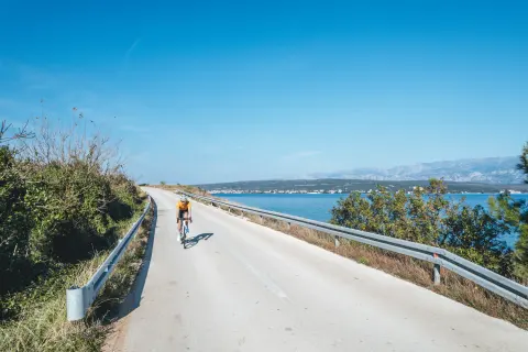 Road
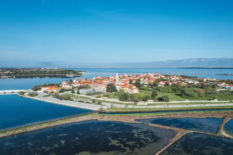 Road