
Road
ROAD Posedarje 3
Loading map…
Elevation profile
72.2 km · total climb 629 m · highest point 225 m
Move across the profile and the point follows on the map.
About the route
The centre of Posedarje is the starting point of this moderately demanding road route. The first part follows the state road from Posedarje via Poličnik to Murvica, where it turns towards Nin and Vrsi. It then continues towards Radovin and Vinjerac and finishes in Posedarje.
The route is rolling, with several shorter climbs of 1–2 kilometres.
Along the route
—
The historic town of Nin, a great opportunity to explore.
When to go
Best April to May and September to October
Jan
Feb
Mar
Apr
May
Jun
Jul
Aug
Sep
Oct
Nov
Dec
BestGoodPossible, with preparation
Start & access
Start coordinates: 44.2100 N, 15.4776 E
Tips and safety
Take extra care on the state road from Posedarje to Murvica and from Jovići to the turn-off for Vinjerac.
Spotted a problem on the route?
An obstacle, damage or wrong data — email us, no sign-up needed.
More in Novigrad SeaSame activity first
All routes (7) →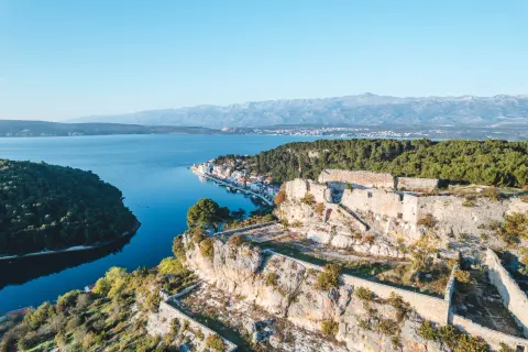 Road
ROAD Novigrad 1
49.0 km · 461 m ↑ · 2 h
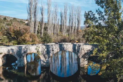 Road
ROAD Novigrad 2
104.8 km · 1451 m ↑ · 4 h
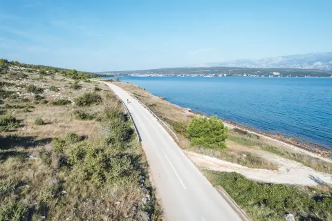 Road
ROAD Poličnik 1
51.7 km · 449 m ↑ · 2 h
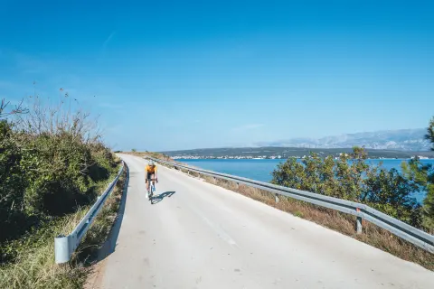 Road
ROAD Poličnik 2
114.6 km · 1036 m ↑ · 4:30 h
Other activities in the destination:MTB 2