Podgora Tourist Board - 5k Hike
Elevation profile
Move across the profile and the point follows on the map.
About the route
This easy hiking route offers a pleasant walk through beautiful nature with impressive views and interesting points of interest along the way. With a length of 5.6 km and a total elevation difference of 198 meters, the route is ideal for recreational hikers and families wanting to spend an active day outdoors.
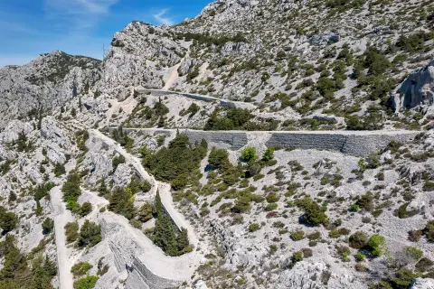
The route starts from the Podgorje waterfront and heads up a paved road to the Seagull's wing (Galebovo krilo). This initial climb provides a gentle introduction to the adventure and an opportunity to enjoy the views of the surrounding landscapes.
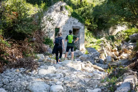
After the Seagull's Wing, the route continues along gravel roads, allowing hikers to more closely explore the diverse nature surrounding them. The route leads to the highest point of the route near the Three Stone Graves (Troje Gomile), a spectacular place for panoramic photos. A pleasant descent follows back towards the famed Seagull’s wing monument.
The route then returns to Podgora along the same paved road.
With a round trip time of 1 hour and 45 minutes, this route is perfect for those who want to spend an active day outdoors, exploring the stunning landscapes and enjoying the fresh air.
Along the route
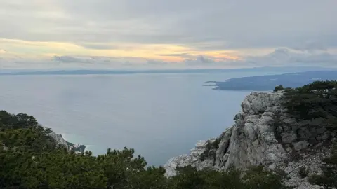
Seagull's Wing (Galebovo krilo): The starting point of the route with a beautiful view of the surrounding natural features and the Adriatic Sea. This is an ideal spot to stop, soak up the vistas and take some great photos.
Three Stone Graves (Troje Gomile): The highest point of the route, these rock formations offers spectacular views. Hikers will enjoy unique sights and photography before continuing their journey.
When to go
Start & access
Start coordinates: 43.2434 N, 17.0735 E
Tips and safety
An obstacle, damage or wrong data — email us, no sign-up needed.