600 From the lake to the field.
Elevation profile
Move across the profile and the point follows on the map.
About the route
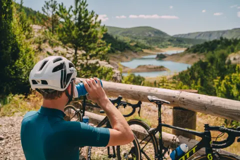
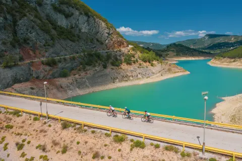
Zabiokovlje, with its network of hilly roads and very light traffic, is made for road cycling. Linking the two largest towns of inland Dalmatia east of Biokovo, the route passes through some of the most beautiful, wildest and best-preserved parts of the destination.
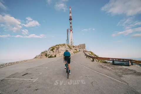
The route starts with the climb to Milina Zasida near Vrgorac, followed, almost all the way to Imotski, by a more technical section on narrow lanes with very little traffic. In Imotski the route passes the Blue Lake and crosses the Imotsko polje, then climbs to Poljica before descending towards Zagvozd. A rolling road then leads to the climb up to the tunnel at the Turija pass, and the descent from there offers a wonderful view of the slopes of Biokovo and the peaks of the Vrgorac hills, Sv. Mihovil and Šibenik.
When to go
Start & access
Start coordinates: 43.2049 N, 17.3726 E
Tips and safety
Narrow roads and technically demanding descents on the first part of the route from Vrgorac to Imotski require extra attention. Between Zagvozd and Vrgorac, there are no shops or catering facilities, so make sure to stock up on fluids in time.
An obstacle, damage or wrong data — email us, no sign-up needed.